How Ocean Tides Work: The Moon, the Sun and the Coast
Ocean tides reflect the Moon and Sun’s gravitational effects, shaped by coasts and ocean basins. Learn tidal range, spring and neap tides, and why local predictions matter.
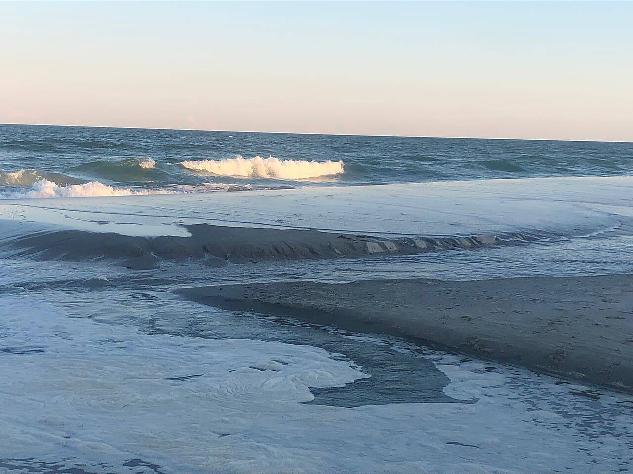
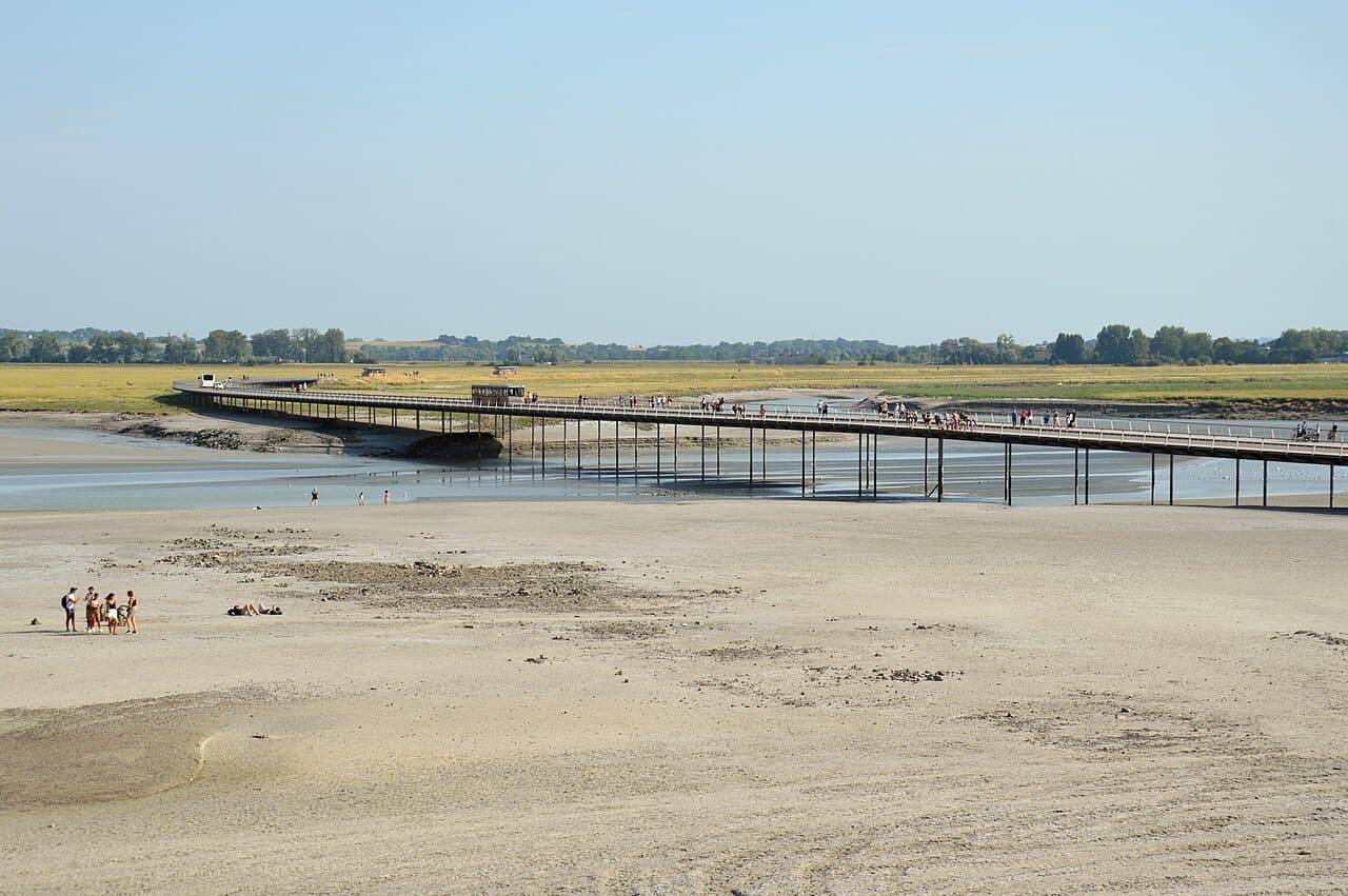
Visit the same shore at different times and the coastline may seem to have changed. A broad strip of sand disappears, a harbor boat rises beside the quay, or a rocky route becomes submerged. Tides are part of the explanation, but the familiar phrase the Moon pulls the water is only a beginning. The Sun contributes too, and the shape of the ocean and coast determines how the pattern appears in a particular place.
Think about changing water level at a place
A tide is a repeating change in sea level associated with astronomical forces. At the shore, people usually notice the rise and fall rather than the large-scale process behind it. High tide and low tide describe points in that local cycle; the difference in their heights is called the tidal range.
That vocabulary is useful because height, range and timing are different questions. A place can have a large range without its high tide occurring at the same clock time as another coast. To understand a particular outing, you need the local prediction, not merely a general statement that tides follow the Moon.
The Moon matters because gravity varies across Earth
Tide-generating effects arise from differences in gravitational attraction across Earth, rather than a uniform lifting of the entire ocean in one direction. The Moon is a major influence. A simplified diagram often shows two tidal bulges, but it should be treated as an introduction to the forces rather than a literal forecast of sea level around every real coastline.
Real oceans cannot respond like an uninterrupted, evenly deep layer of water around a smooth sphere. Continents, depth and the rotation of Earth complicate the response. The simple model explains why there is a tidal effect; local behavior requires a more complete treatment of the ocean's physical setting.
The Sun changes the pattern too
NOAA explains that solar and lunar tidal effects combine differently as the relative positions of the Sun, Moon and Earth change. Around new and full Moon, their alignment produces the larger ranges known as spring tides. Around first and third quarter, the geometry produces the more moderate ranges known as neap tides.
Spring in this expression does not refer to the season. Spring tides occur through the year. That is an easy language trap: a familiar word has a specific meaning in a different context. The timing is connected to the lunar cycle rather than a particular month on a northern or southern seasonal calendar.
Compare spring and neap carefully
The distinction concerns range: how far the local level moves between high and low tide. It is not a promise that every spring high tide reaches a fixed universal height or that neap tides make every shore safe. Other influences and the particular location still matter.
| Pattern | Astronomical relationship | General range tendency |
|---|---|---|
| Spring tide | Near new or full Moon | Larger tidal range |
| Neap tide | Near first or third quarter | Smaller tidal range |
Use the table as a conceptual comparison. For a real coastal decision, replace the general tendency with the current official information for the correct location and date.
The coastline helps shape the outcome
An open beach, a narrow inlet and an enclosed harbor do not respond identically. The surrounding geometry and water depth affect how the tidal movement develops. That is why borrowing a tide time from a place that looks nearby on a small map can be a poor substitute for finding the correct reference station.
Read what a prediction actually describes. A table may refer to a particular harbor, and heights may use a specified reference level. If the information is unfamiliar, consult the authority's explanation. A number without its location, time convention and height reference can be easy to misuse.
Tidal level and moving water are related but different
Water level describes height. A current describes water movement. These are connected in tidal environments, but knowing one does not automatically answer every question about the other. A low-looking sea is not proof that there is no strong movement through a nearby channel.
For boating, swimming or other activities, use the relevant current information and local safety guidance as well as tide heights. Do not infer safe conditions from a general science article or a photograph of a calm surface. The purpose of understanding the concepts is to ask better local questions, not to replace the information needed for the activity.
A prediction is not the whole weather story
Astronomical tide predictions describe an important recurring component of sea level. Actual conditions can also be affected by weather. Read warnings and local advice rather than assuming a predicted height accounts for every possible condition at the shore.
If walking in a tidal area, establish a safe route and return time through the responsible local authority or land manager. Keep an escape route available and avoid relying on a distant visitor's account. A route visible at low water may be cut off before the wider beach looks flooded.
The Moon and Sun provide the recurring astronomical framework; the ocean and coast shape the local response. That combination explains both the regularity of tides and the need for place-specific predictions. The more clearly those two levels are separated, the more useful a tide table becomes.